 Rachel Ameen
Map Portfolio
Cartographies of the Forever Wild

Maps are a critical part of geography. I make no claim to expertise, or even competence, with GIS or other software, but I prefer the creative freedom, range of expression, and multimedia possibilities of cartographies. For more on maps and spatial storytelling, check out this paper!
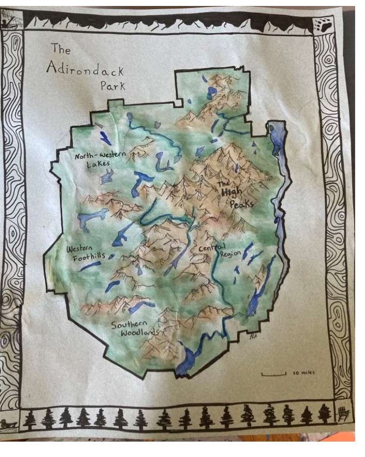
Hand-Drawn Reference Map
Pen, ink, and watercolor reference map of the Adirondack Park, traced from a New York Historical Society print. A return to the roots of cartography: no software, no undo button.
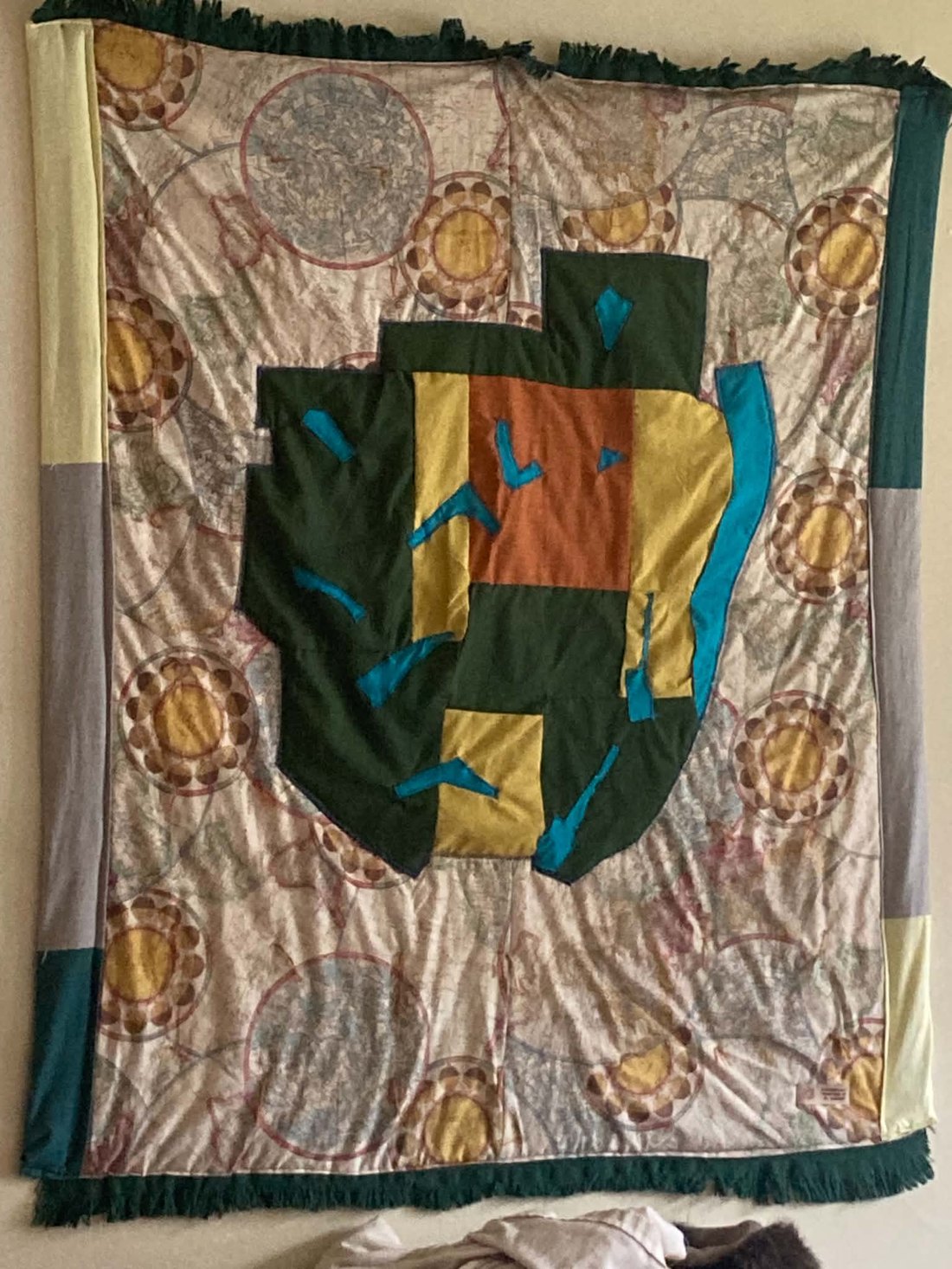
Map Quilt
Appliqué quilt of the Adirondack Park: forest lands, developed corridors, and waterways in fabric, set against a backing of vintage map print.
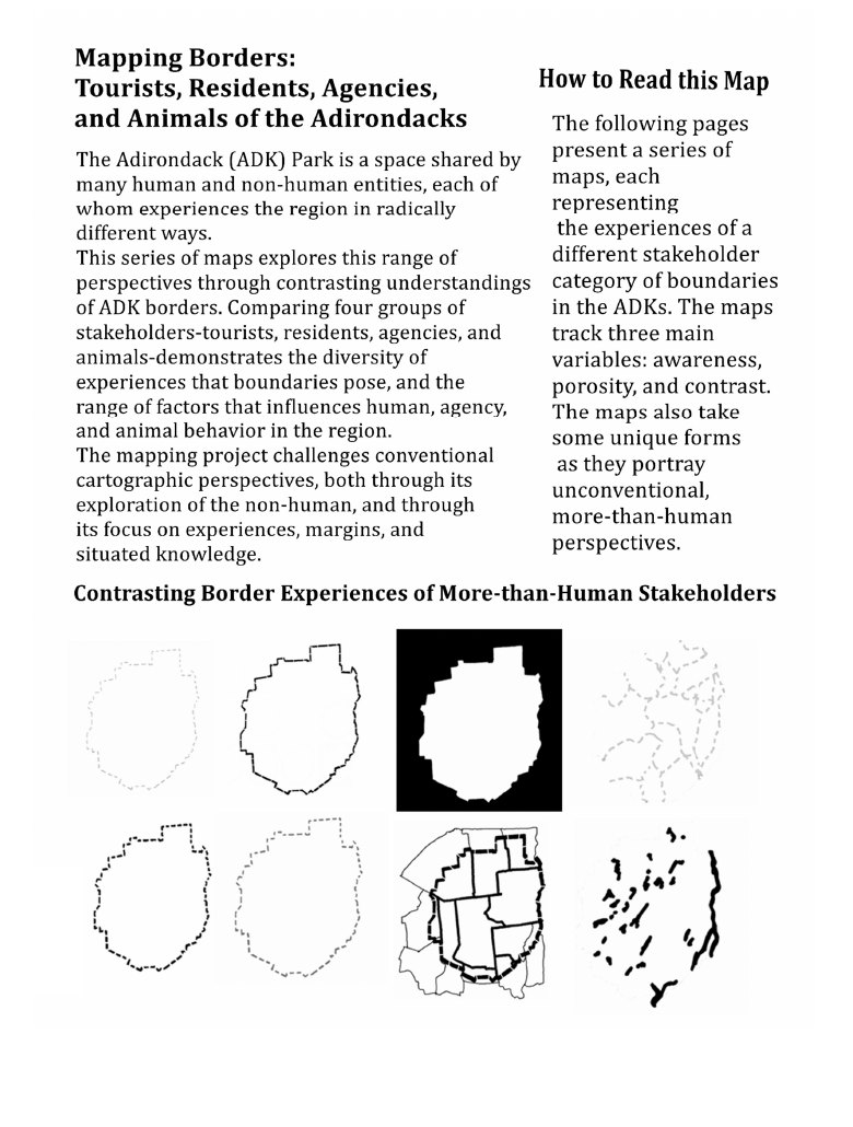
Multispecies Borders in the ADKs
A series comparing how tourists, residents, agencies, and animals experience the park boundary, tracking awareness, porosity, and contrast for each group.
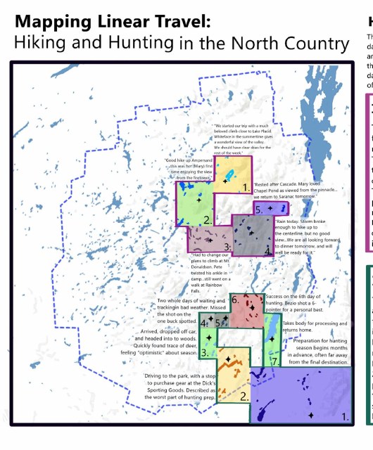
Mapping Linear Travel
Two journeys through the North Country, drawn from archival travel logs: a 1950s family's high peaks vacation and a contemporary hunter's five-day outing. Inspired by Margaret Pearce's narrative technique.
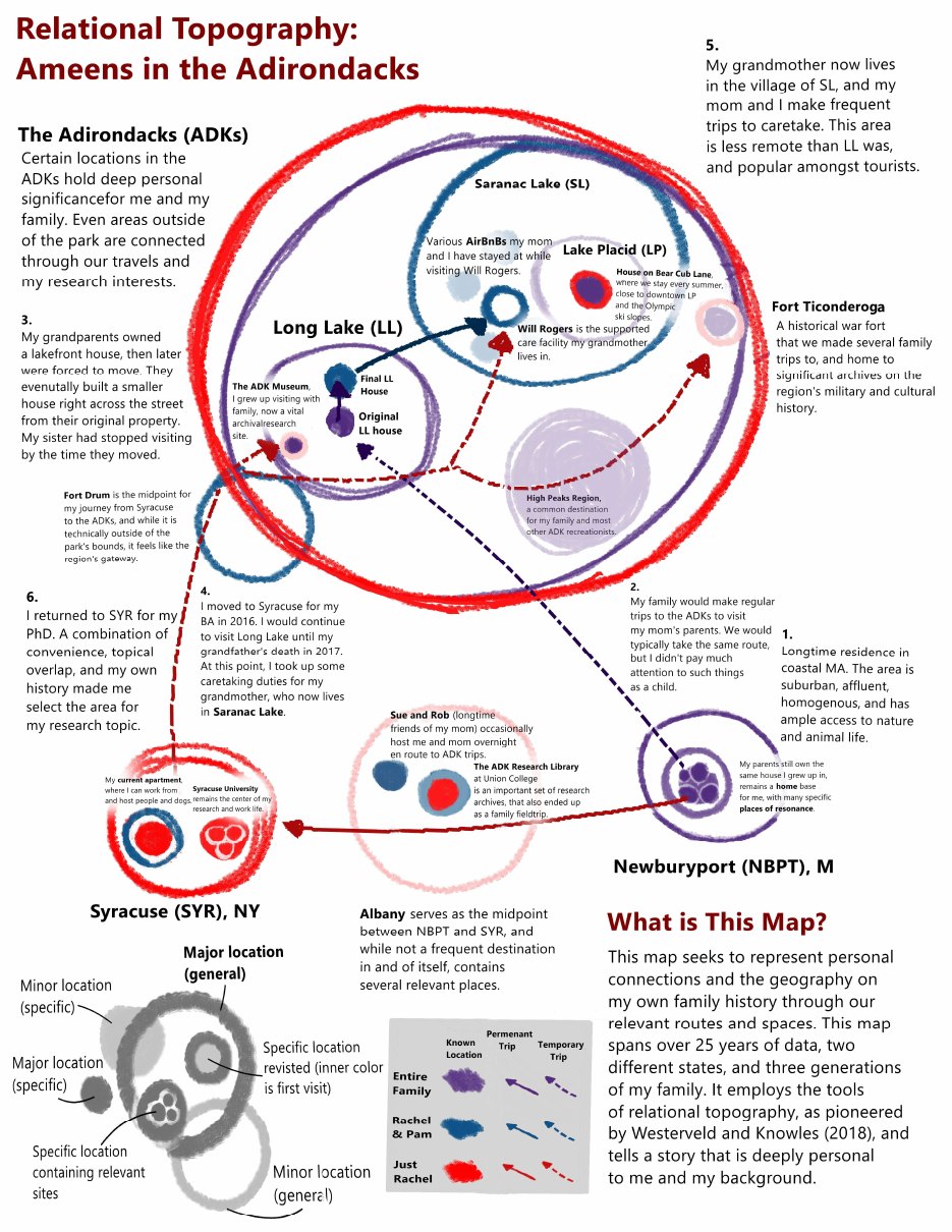
Relational Topography: Ameens in the Adirondacks
Three generations of family geography, spanning 25 years and two states, mapped with Westerveld and Knowles's relational technique.
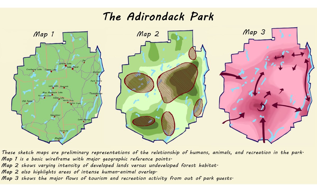
Sketch Maps of the Adirondack Park
Preliminary sketches of the relationships between humans, animals, and recreation in the park, from wireframe to habitat overlap to tourism flows.